Rapid, measurable 3D data capture for monitoring, investigation, and change analysis
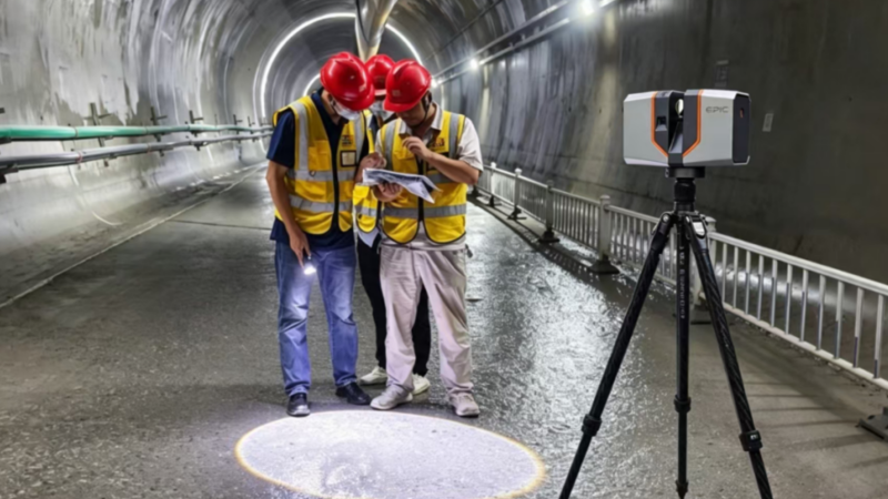
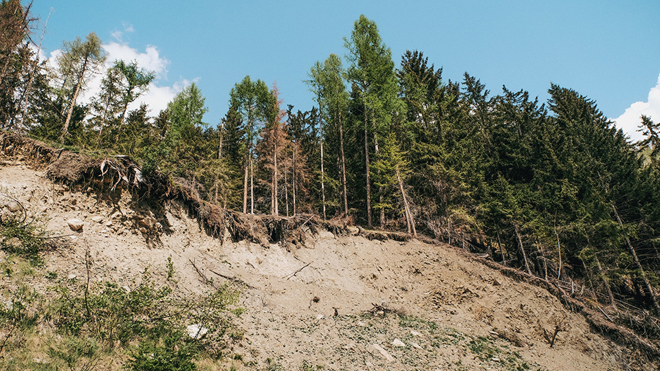
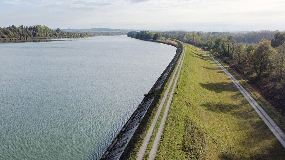
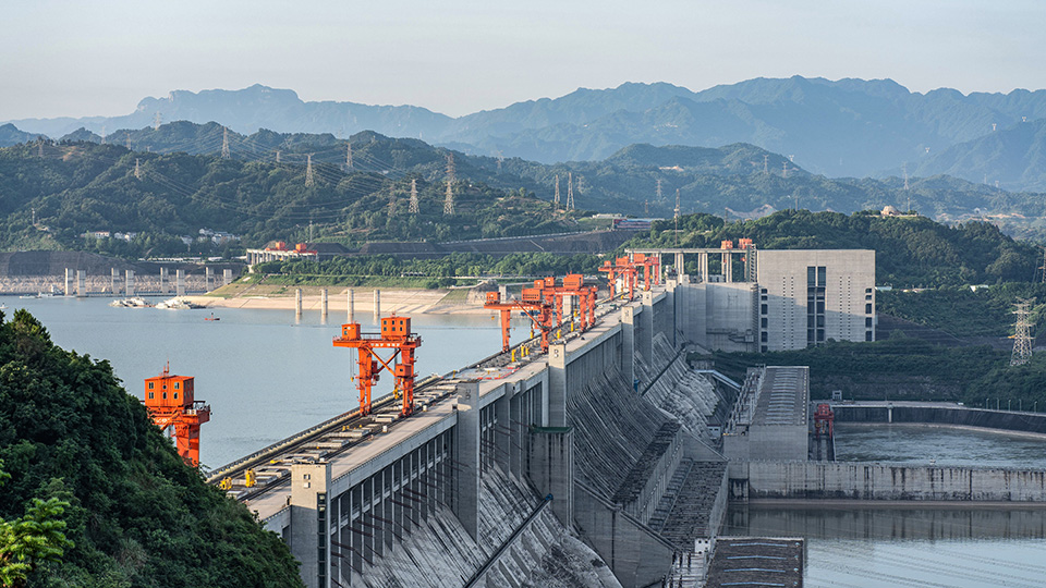
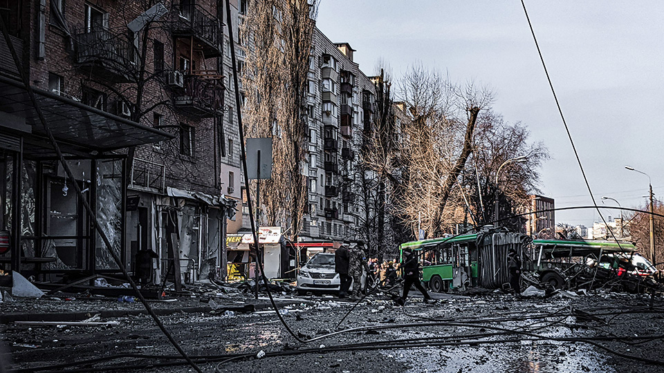
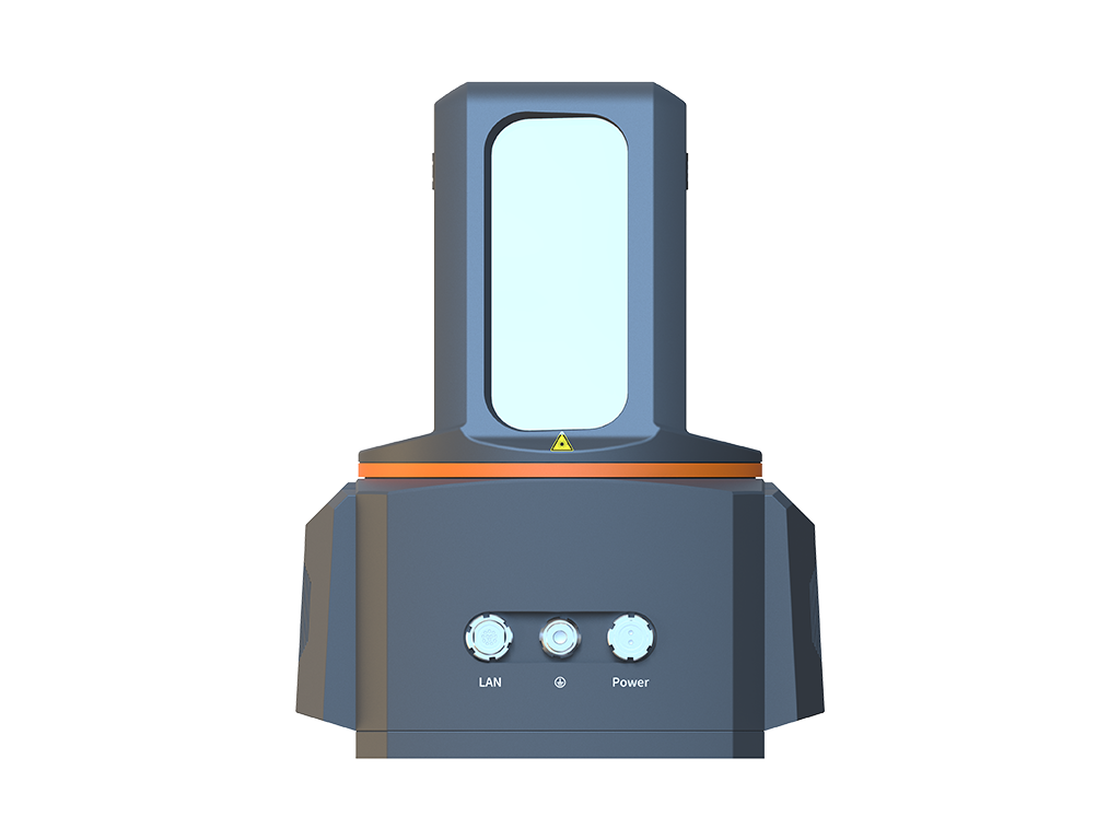
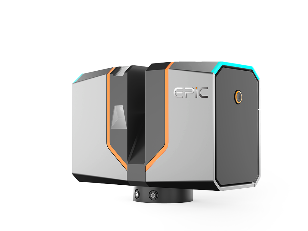
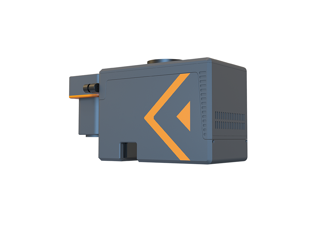
Landslides, levees, reservoirs, and incident sites often present complex conditions, restricted access, and rapidly changing environments. Conventional surveying methods can struggle to balance safety, efficiency, and comprehensive site documentation. EPiC LiDAR uses long-range, non-contact 3D scanning to capture dense point clouds while reducing the need for personnel to approach difficult or hazardous areas. The resulting data provides a measurable and traceable 3D record for landslide monitoring, levee inspection, reservoir surveys, and incident investigations. Comparisons of multi-temporal datasets also support the analysis of displacement, geometric changes, and volume changes.
Remote, non-contact measurement enables data capture from safer positions, reducing the need to enter hazardous, restricted, or difficult-to-access locations.
Rapidly Document Site Conditions
High-density 3D point clouds capture geometry and spatial relationships in a short time, creating a traceable record for time-sensitive surveys and investigations.
Quantify Change over Time
Comparing 3D datasets captured at different times provides a consistent basis for measuring changes in displacement, shape, and volume.