Efficient 3D surveying for long distance and large-scale infrastructure
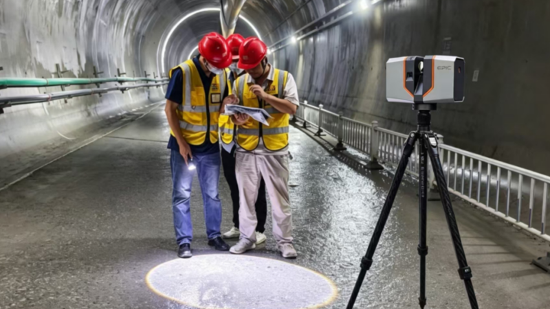
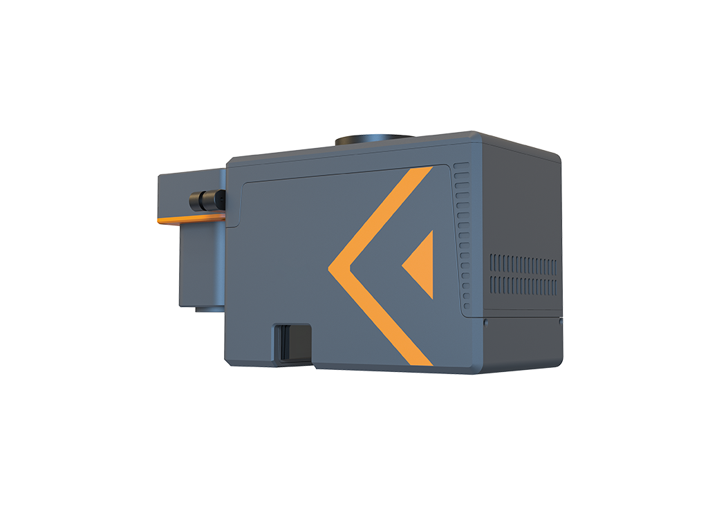
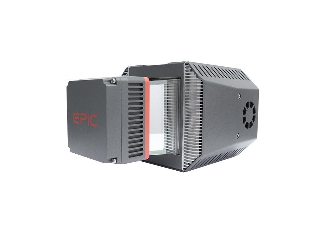
Transportation infrastructure often extends over long distances, involves large structures, and must be surveyed within limited access or operating windows. Conventional point-by-point methods can struggle to balance coverage, efficiency, and data completeness. EPiC LiDAR combines long-range terrestrial laser scanning, LiDAR sensors for mobile mapping systems, and UAV LiDAR to capture high-density 3D point clouds across infrastructure assets and their surroundings, reducing field effort while providing reliable data for infrastructure documentation, engineering surveys, and further analysis.
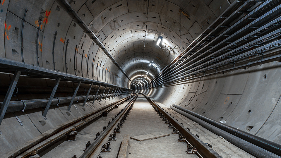
Long-range terrestrial laser scanning captures high-density data from greater distances, extending the effective coverage of each scan position and potentially reducing the number of setups required for tunnels, bridges, and large structures.
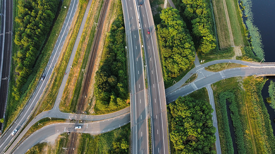
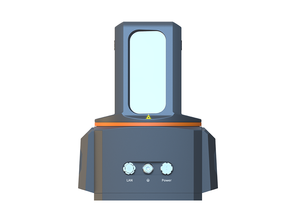
LiDAR sensors for mobile mapping and UAV LiDAR enable efficient, continuous acquisition over long and large-scale corridors, reducing reliance on slower point-by-point field measurements.
High-density point clouds capture both the asset and its surrounding environment, creating continuous, reusable 3D records for documentation, engineering surveys, and further analysis.