From large-area vegetation surveys to detailed plant phenotyping, capture vegetation and terrain in 3D
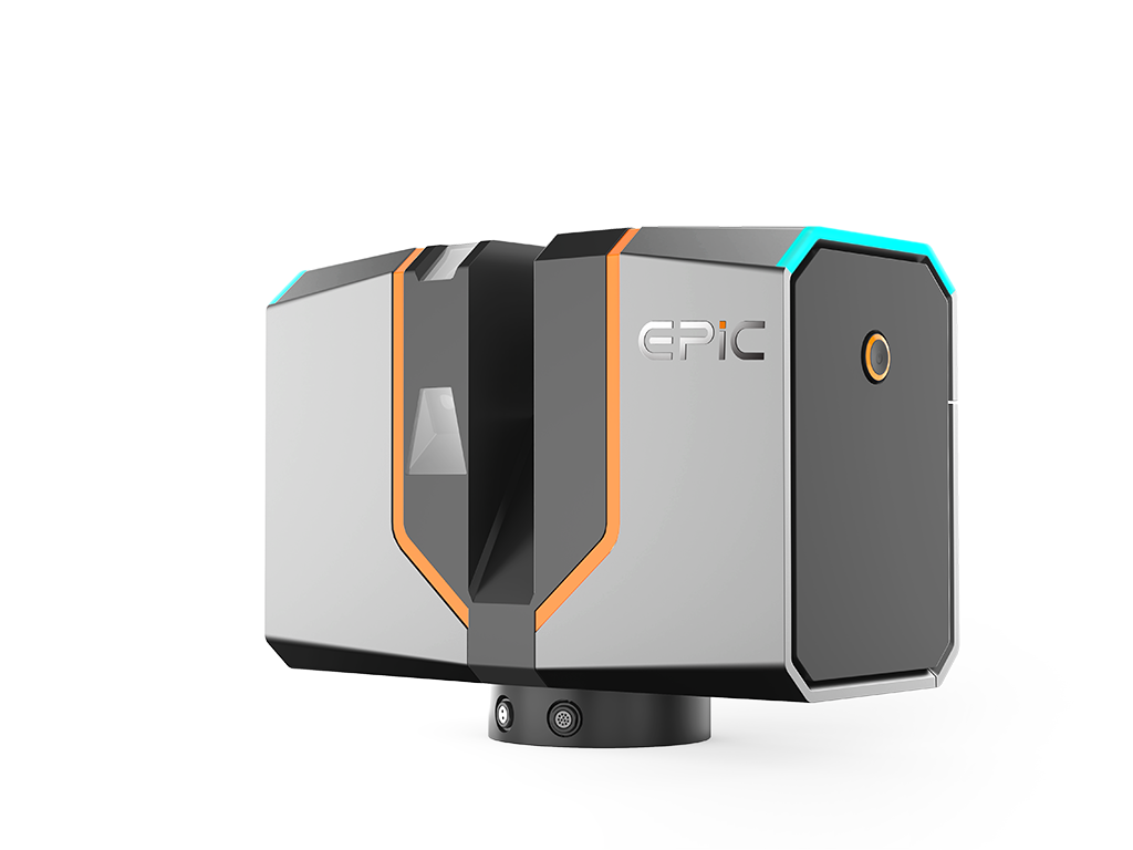
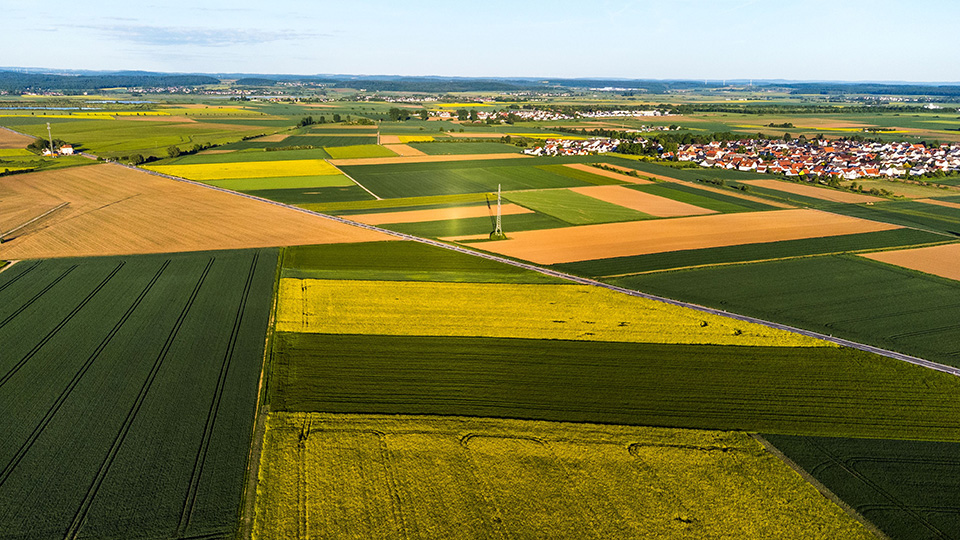
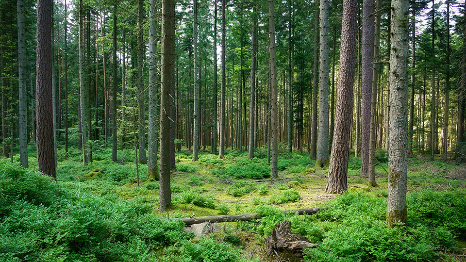
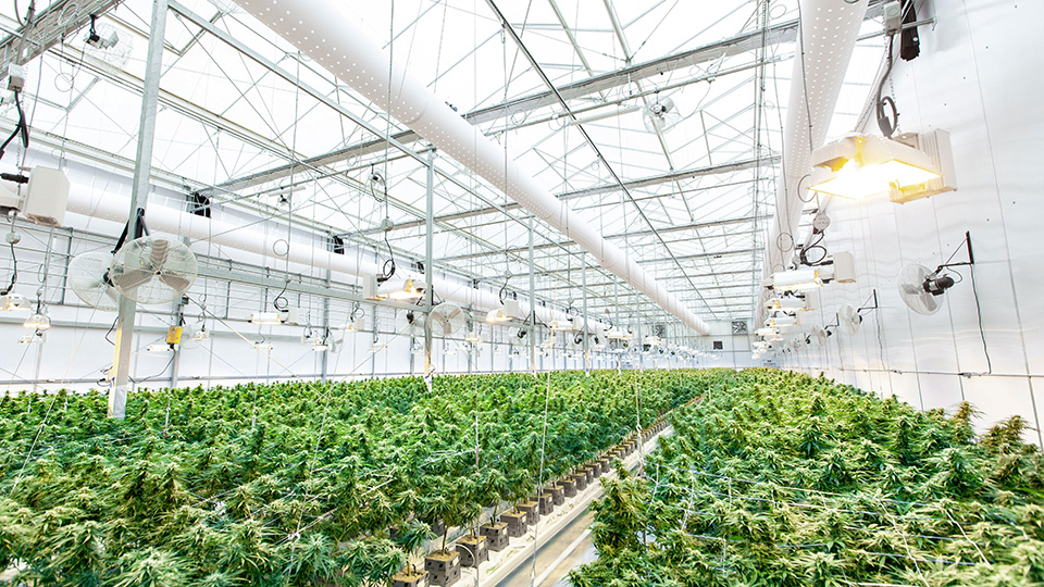
Agriculture and forestry applications require 3D data at very different scales, from broad-area vegetation and terrain surveys to detailed measurements of individual plants. EPiC LiDAR combines UAV LiDAR with high-precision terrestrial laser scanning to support both large-area data acquisition and close-range, fine-detail capture, providing reliable 3D data for resource surveys, vegetation structure measurement, terrain mapping, and plant phenotyping research.
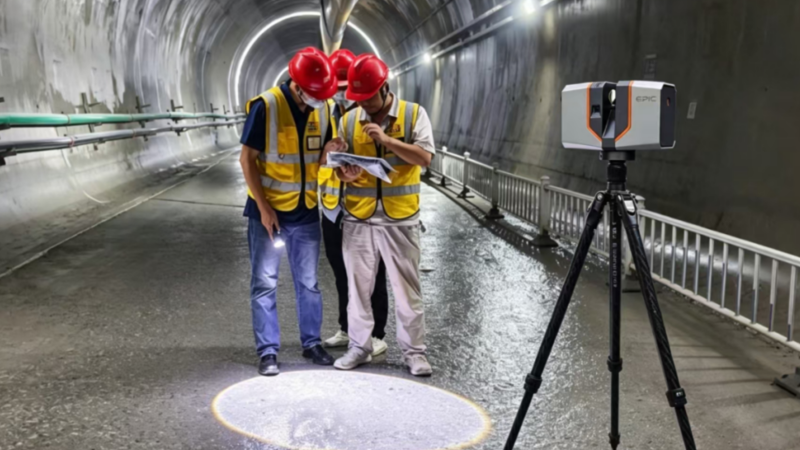
LiDAR terrestrial laser scanners rapidly capture dense, high-accuracy point clouds of buildings and structures, providing a reliable 3D data foundation for as-built documentation, modeling, measurement, and renovation projects.
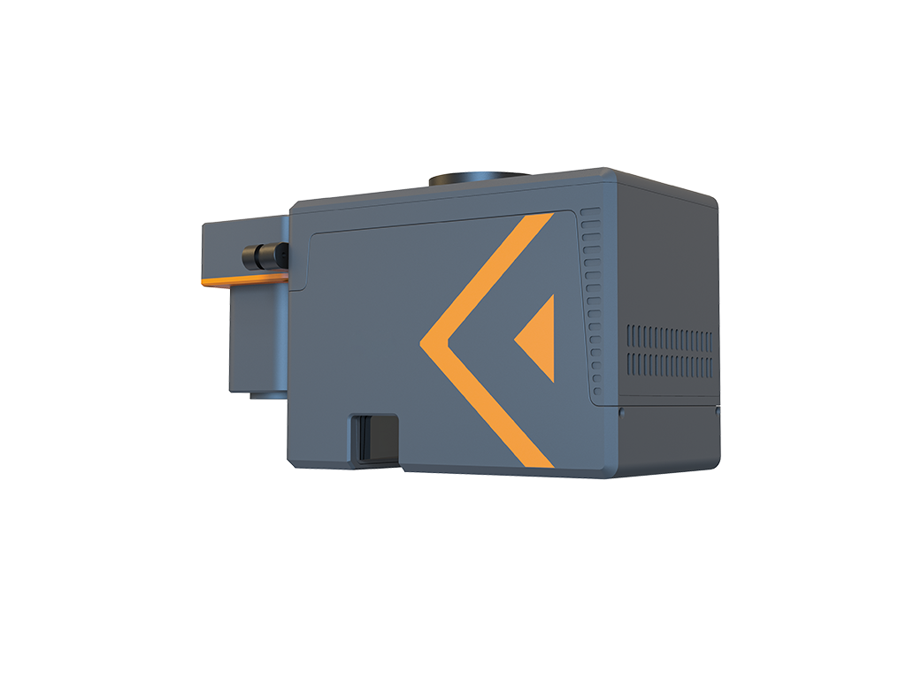
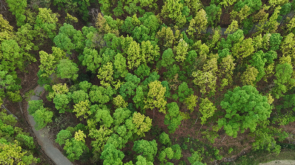
Multi-return UAV LiDAR can capture vegetation structure and ground returns through canopy gaps, providing more complete 3D information for vegetation and terrain measurement.
UAV-based data acquisition rapidly covers forests, farmland, and complex terrain, reducing reliance on dense ground-based measurements for large-area surveys.
High-precision terrestrial laser scanning captures high-density 3D data of individual plants and local vegetation, providing a data foundation for measurements such as plant height, canopy dimensions, and structural traits.
Copyright © 2026 All Rights Reserved