EPiCloud Center

UAV LiDAR Processing Software

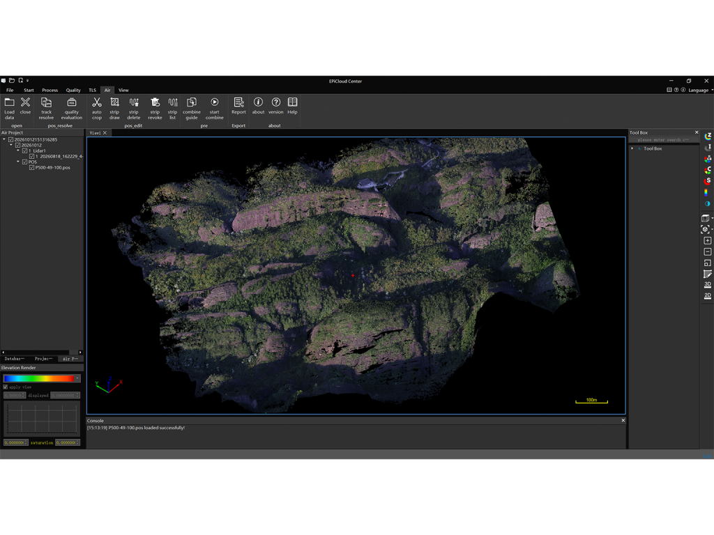
EPiCloud Center is professional UAV LiDAR processing software for GNSS/INS processing, strip adjustment, quality validation, and standard point cloud export. It provides a streamlined workflow that transforms raw UAV LiDAR data into accurate and reliable point cloud deliverables.


Main Features

GNSS/INS Trajectory Processing

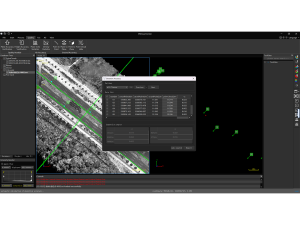
Process RTK/PPK trajectory data with integrated quality assessment to provide an accurate positioning foundation for point cloud generation.

Point Cloud Generation & Refinement

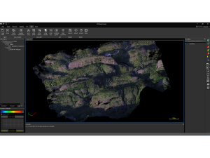
Generate point clouds and perform colorization, classification and noise filtering within an integrated processing workflow.

Data Quality Assessment

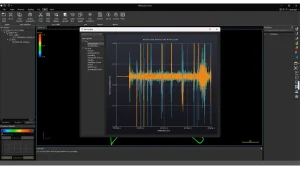
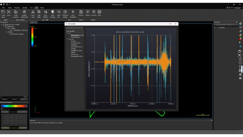
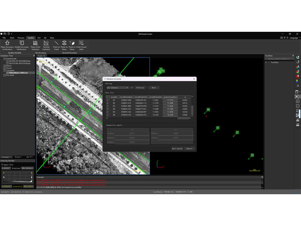
Supports validate vertical accuracy and inspect processing quality to ensure reliable project deliverables.

Industry-Standard Data Export

Export processed data in LAS, E57, EPI and other supported formats for downstream applications and project delivery.

探讨您的项目需求

请告诉我们您的项目情况,我们的工程师将及时为您推荐最合适的解决方案
我们将使用您提供的信息来回复您的咨询,详情请参阅我们的 隐私政策