Long-range, large-area 3D surveying for complex and high-risk environments
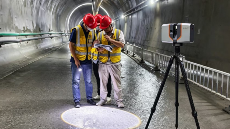
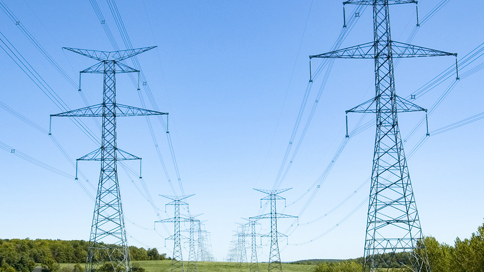
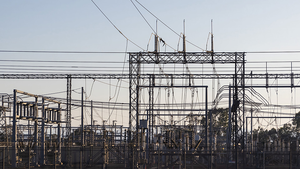
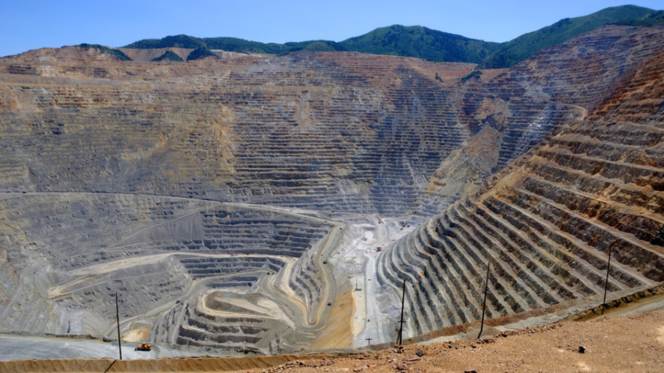
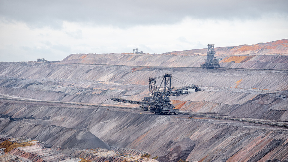
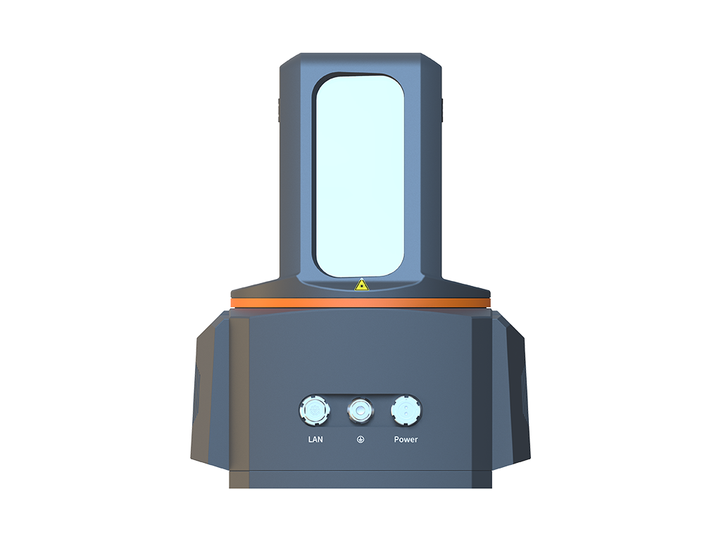
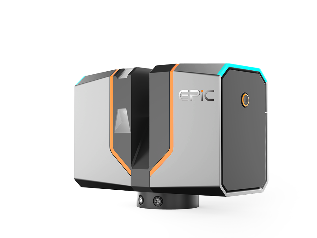
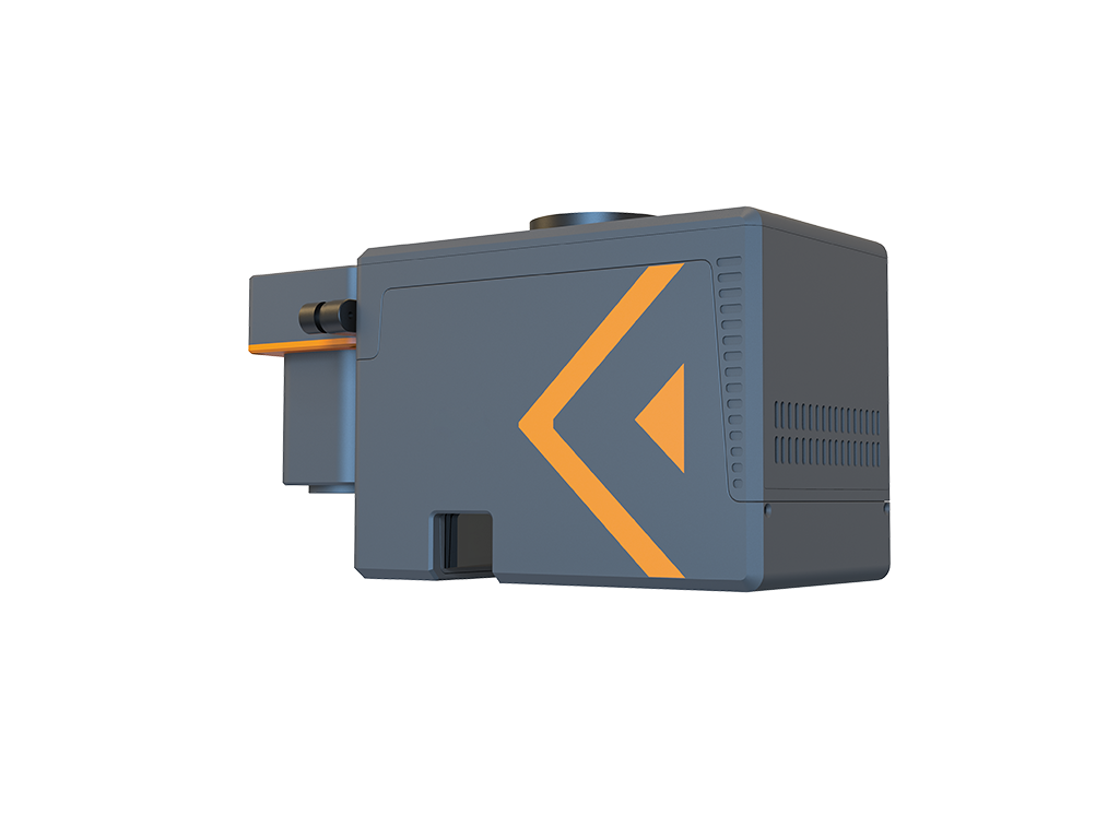
Energy and mining projects often involve large operating areas, distant targets, complex terrain, and restricted or hazardous access. EPiC LiDAR combines long-range terrestrial laser scanners with UAV LiDAR systems to capture High-density 3D data of assets, terrain, and surrounding environments from safer positions. This reduces ground survey effort and personnel exposure to hazardous conditions while providing reliable data for engineering surveys, asset digitization, and change monitoring.
Long-range, non-contact measurement enables 3D data capture from safer positions, reducing the need for personnel to enter hazardous or difficult-to-access areas.
Long-range terrestrial scanning and UAV LiDAR cover different survey scales, helping reduce frequent scanner setups and extensive ground-based surveying in large and complex sites.
High-density 3D point clouds record target geometry together with the surrounding environment, providing a complete data foundation for modeling, surveying, and multi-temporal comparison.