Accurate 3D capture of existing buildings for BIM, renovation, and engineering surveys
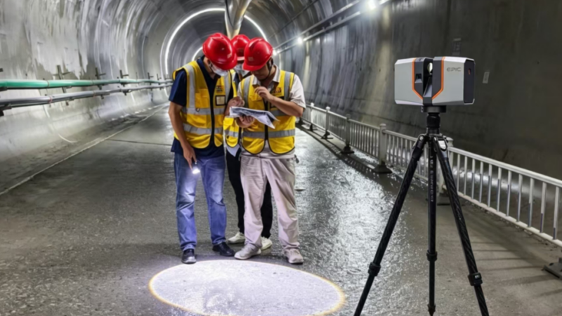
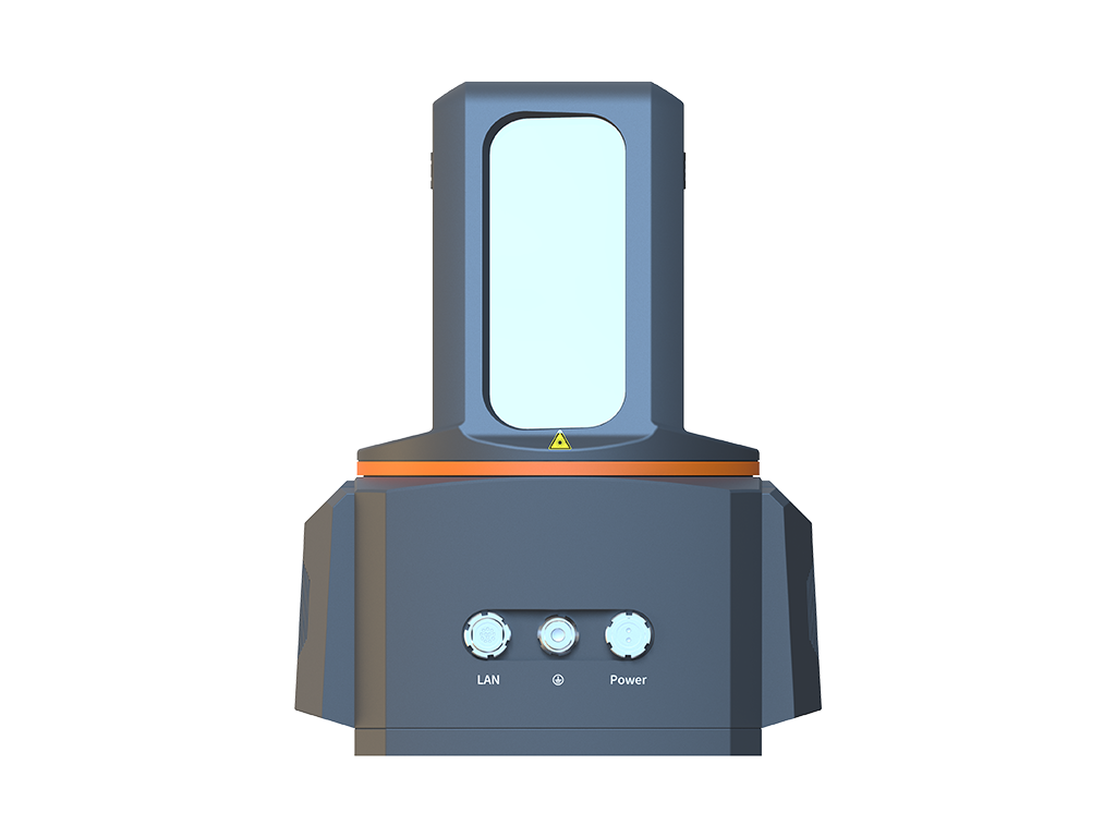
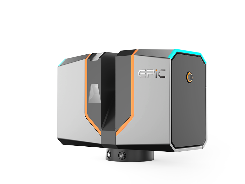
BIM, building renovation, and digital project delivery increasingly depend on accurate and complete existing-condition data. Complex geometry, occlusions, and time-consuming manual measurements can lead to missing information and repeat site visits. EPiC LiDAR terrestrial laser scanners rapidly capture dense, high-accuracy point clouds of buildings and structures, providing a reliable 3D data foundation for as-built documentation, modeling, measurement, and renovation projects.
High-accuracy, high-density multi-station scanning captures detailed building and spatial geometry, reducing data gaps and the need for repeat site visits due to insufficient measurements.
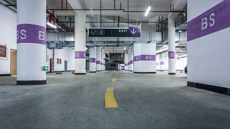
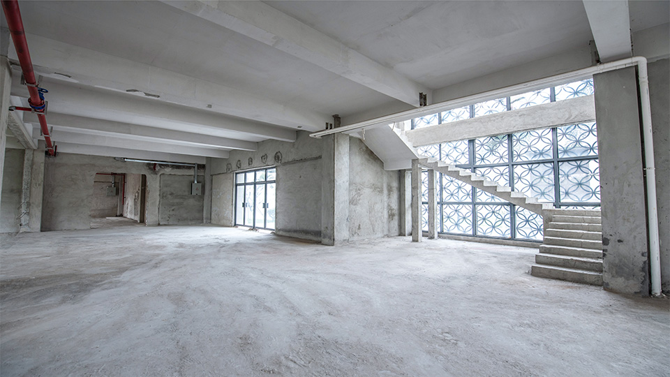
Multi-station scanning documents complex structures, façades, underground spaces, and interior environments from multiple positions, helping capture geometric details and spatial relationships that are difficult to record through conventional point-by-point measurement.
Lightweight hardware, on-site data review, multi-station registration, and point cloud processing reduce repetitive field checks and office work, helping projects move forward faster.


Copyright © 2026 All Rights Reserved