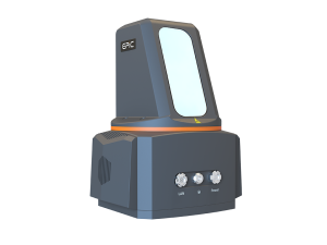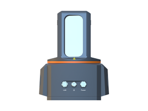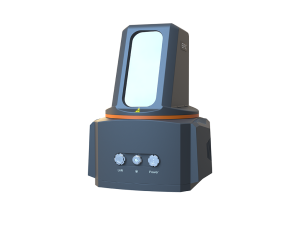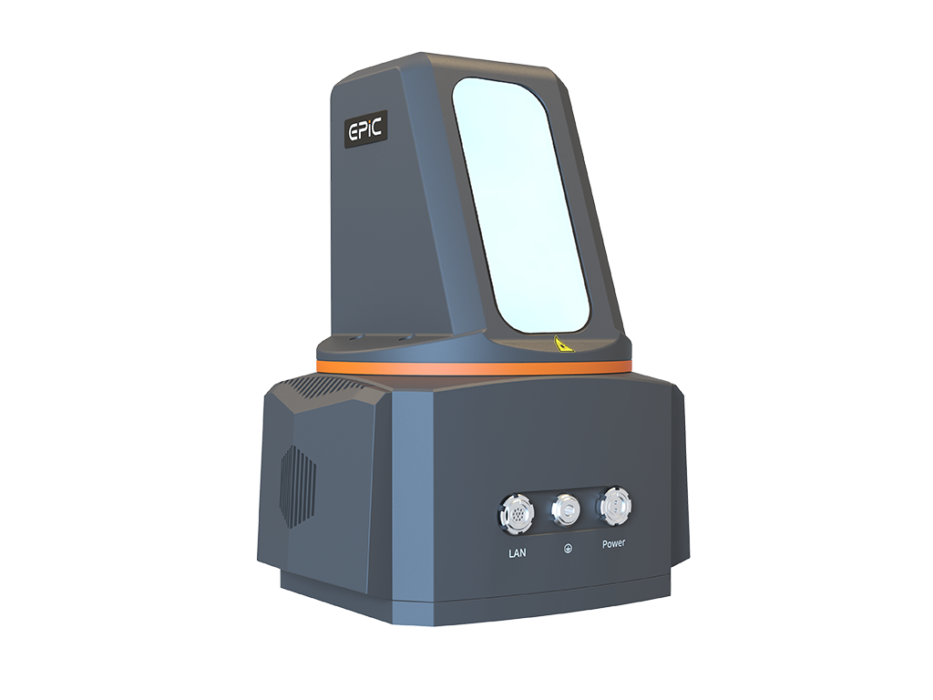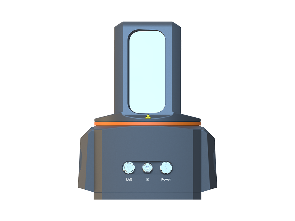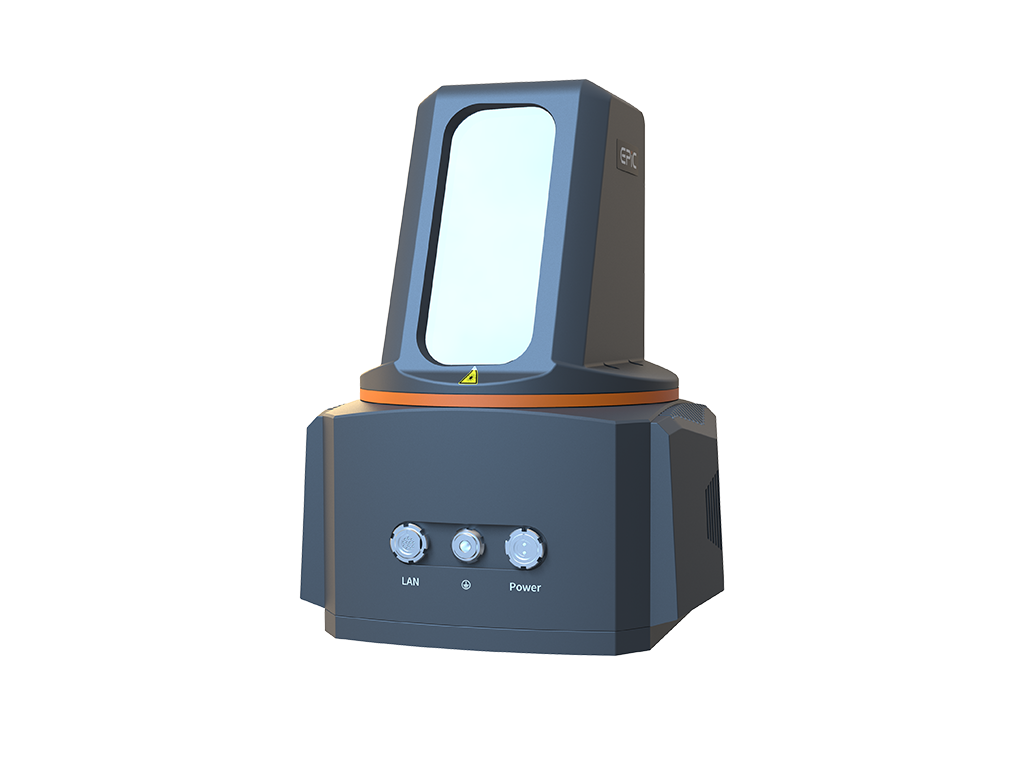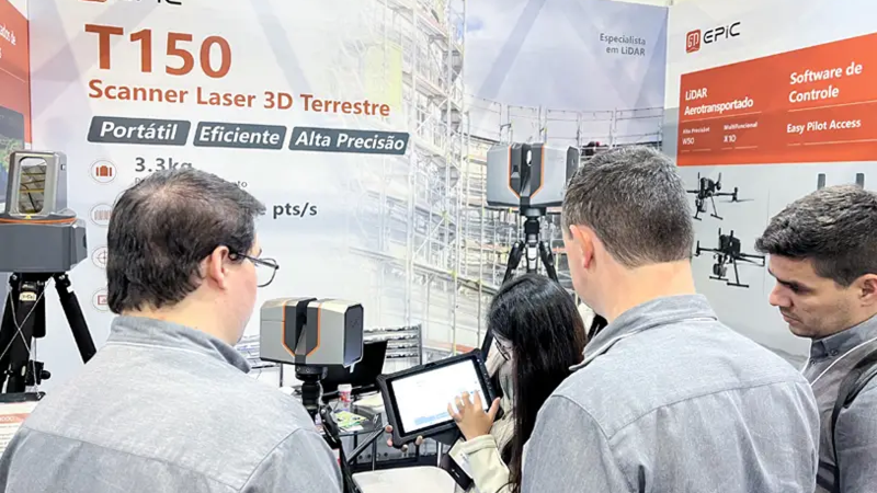
With an ultra-long ranging capability of 3000 meters, T1000 Plus can help users easily and quickly acquire 3D data over abroader surface area, providing high-fidelity 3D laserpoint clouds on site. It can be widely applied in scenari-os such as topographic surveying and mapping, BIM,rapid rock mass scanning, slope deformation monitor-ing, and more.
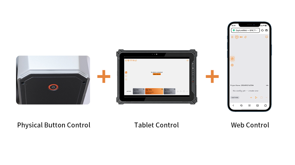
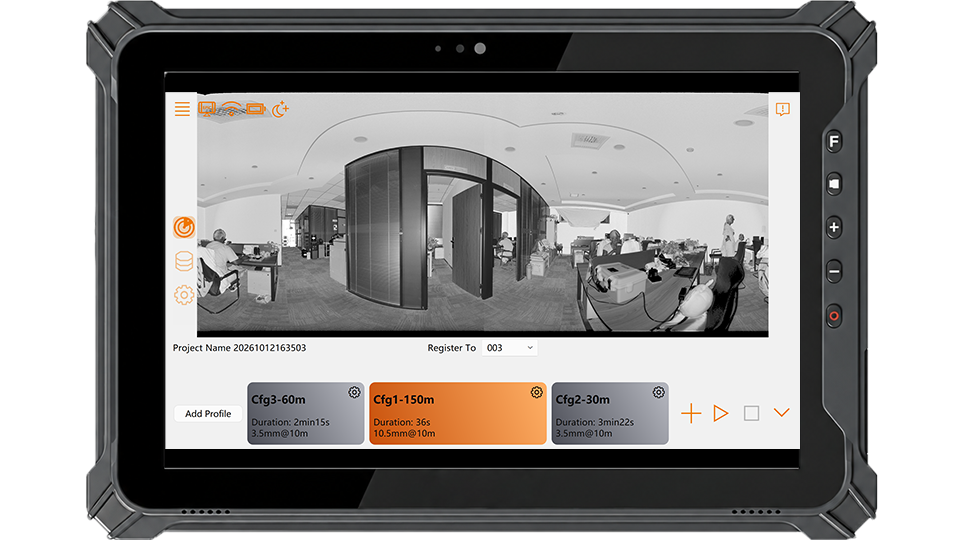
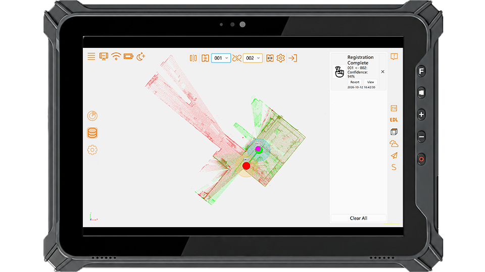
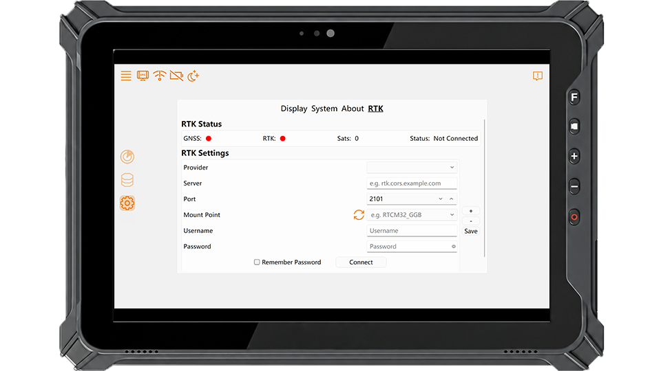
EPiC Capture brings scanner control, data acquisition, real-time visualization, and in-field quality checks into a streamlined terrestrial laser scanning (TLS) workflow. Offering flexible control via hardware, mobile app, and web interface, it also supports in-field pre-registration and RTK positioning, enabling users to verify data coverage and quality before leaving the site.
Multi-Platform Web Control
Real-Time Data Preview
In-Field Pre-Registration
RTK Positioning
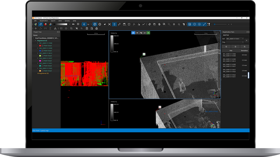
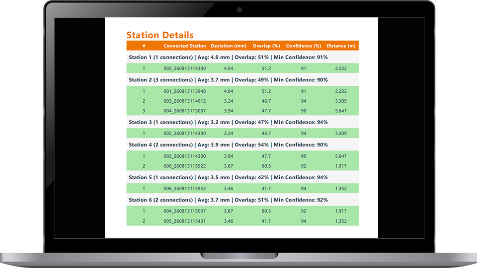
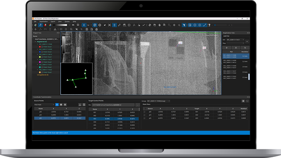
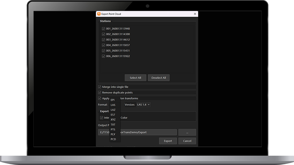
EPiC Register is professional point cloud registration and processing software for multi-station terrestrial laser scanning projects. It supports flexible registration,massive point cloud processing, registration optimization, georeferencing, and standard point cloud export,enabling efficient workflows and accurate, reliable data delivery.
Multiple Registration Methods
Registration Optimization
Georeferencing & Control Points
Standard Point Cloud Export
| Weight | 8kg |
| Dimensions | 238mm × 223mm × 288mm |
| External Power Supply | Input Voltage 18~33V DC |
| Power Consumption | Typ. 60W |
| Data Communication Interface | GigE |
| Humidity | Non-condensing |
| Operating Temperature | -20℃~+50℃ |
| Storage Temperature | -30℃~+60℃ |
| Dual-axis Tilt Seneor Range | ±5° |
| Scan Principle | ToF |
| Laser Product Classification | Class I |
| Wavelength | NIR |
| Laser Pulse Repetition Rate | 100~2000 kHz |
| Max. Measuring Range | 3000m@80% |
| Min. Measuring Range | 1.5m |
| Precision | 3mm@100m |
| Accuracy | 5mm@100m |
| Laser Beam Divergence | 0.35 mrad |
| Vertical FoV | 360°x100°(-40°~+60°) |
| Horizontal FoV | 360° |
| Scan Speed | Vertical:12~150lines/sec |
| Horizontal: max.18°/sec | |
| Angle Measurement Resolution | 0.001° |
| Resolution of Panoramic Image | Approx.100 MP |
| FoV | 360°x 110° |
| Weight | Approx. 564g |
| Storage | Built-in SD Card 128GB |
| Dimension | 112mm×96.7mm×156.3mm |
| Focal Length | 16mm |
| Expandable | RTK Quick Mouting Adapter |
Copyright © 2026 All Rights Reserved