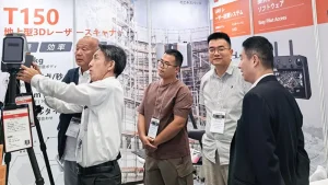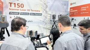
The Engineering Technology Research Center for Levee Safety and Hazard Prevention under China’s Ministry of Water Resources recently released the first list of technologies for detecting hidden levee hazards and supporting levee inspection.
EPiC LiDAR’s independently developed 3D laser scanning technology was included in the list and received an official certificate of recognition.
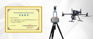
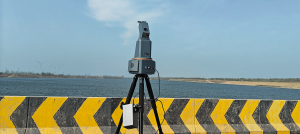
T1000 Series Terrestrial Laser Scanner
The T1000 Series provides a maximum measurement range of up to 5 km, enabling long-distance observation of levee breaches and riverbank slopes without requiring personnel to enter hazardous areas.
Integrated sensors and BeiDou positioning support accurate georeferencing in demanding weather and low-light conditions. Millimeter-level ranging supports levee deformation monitoring, breach and erosion modeling, riverbank stability assessment and 3D terrain reconstruction.
W100 Plus UAV LiDAR System
The lightweight W100 Plus can be integrated with multirotor and fixed-wing UAVs for rapid, large-area inspection at a typical flight altitude of 500 m.
The system supports up to one million points per second and seven returns, enabling data capture through vegetation for terrain and levee assessment. It can support pre-event risk inspection, post-event damage assessment, emergency response and recovery planning.
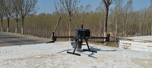
By combining rapid airborne coverage from the W100 Plus with detailed long-range monitoring from the T1000 Series, inspection teams can improve both coverage and measurement precision for levee risk identification and flood-control decisions.
EPiC LiDAR will continue to develop high-precision, reliable 3D LiDAR systems for hydrology, water infrastructure, flood response and modern water management.