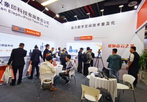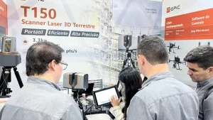
From November 8–10, 2023, EPiC LiDAR participated in the inaugural China Surveying and Mapping Geographic Information Conference in Deqing, Zhejiang, joining professionals and companies from across the surveying and geospatial industry.
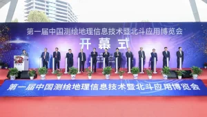
A Broad LiDAR Portfolio on Display
At the event, EPiC LiDAR showcased a range of self-developed LiDAR systems for terrestrial, UAV, and multi-platform 3D data capture.
Highlights included the long-range T1000 terrestrial laser scanner and the X10 multi-platform LiDAR system, which supports both airborne and handheld SLAM operation.
These systems demonstrated EPiC LiDAR’s focus on flexible, high-precision 3D data acquisition for professional surveying and geospatial applications.
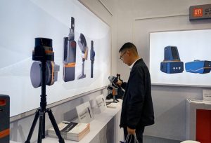
Connecting with Partners and Users
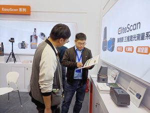
Throughout the event, the EPiC LiDAR team met with distributors, customers, and industry professionals to discuss product developments, application requirements, and potential areas for cooperation.
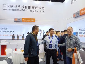
The exhibition also provided valuable direct feedback from users, helping the team better understand evolving needs in field data capture, portability, workflow efficiency, and application-specific deployment.


Looking Ahead
The conference reflected the continued growth of LiDAR and 3D reality capture technologies across the surveying and geospatial sector.
EPiC LiDAR will continue to focus on product development and practical field workflows, working with partners and users to support more efficient and reliable 3D data capture across a wider range of professional applications.