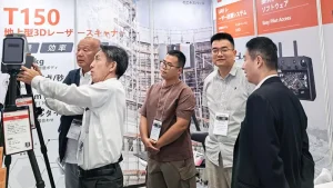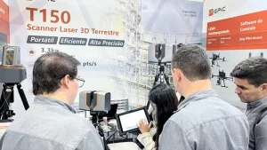
The 20th Advanced Water Technology Conference was held in Suzhou on April 23, 2025. Guided by the Department of International Cooperation, Science and Technology of China’s Ministry of Water Resources and organized by the ministry’s Science and Technology Promotion Center, the event brought together water-sector authorities, experts, institutions and companies.
Discussions covered levee risk detection, the national water network, water conservation, river and lake restoration, digital twin water systems and environmental management in the Taihu Basin.
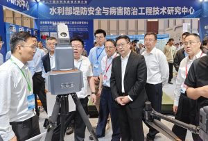
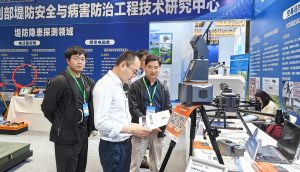
EPiC LiDAR presented the T5000 ultra-long-range terrestrial laser scanner in the exhibition area for levee inspection and hidden-hazard detection. The system was included in the proposed ministry list of technologies for levee risk detection and inspection.
Based on pulsed laser ranging and 3D LiDAR, the T5000 captures point clouds for large and complex terrain. It combines a maximum range of 5 km, multiple integrated sensors and BeiDou positioning for operation in demanding environments.
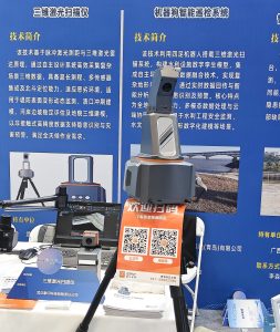
The system supports non-contact, high-precision data acquisition for levee deformation monitoring, breach erosion modeling, riverbank slope stability assessment and 3D terrain modeling. These capabilities provide data for risk identification, disaster warning and all-weather inspection workflows.
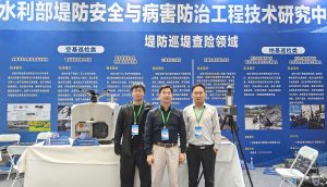
EPiC LiDAR will continue to develop independently designed 3D LiDAR systems for water engineering surveys, terrain mapping, levee inspection and emergency response.